
LITTLE-TRIP CITY GUIDE
Miryang travel guide: river pavilions, ponds, temples and science
Think separately about riverside walks and journeys to Bubuk, Muan, Samnangjin, Sannae or Danjang. Stops within Miryang still need a real route check.
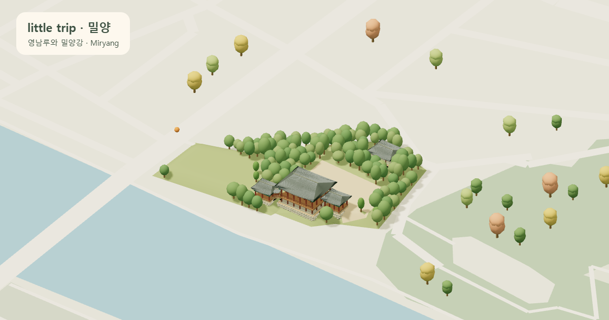
Begin with Yeongnamnu and the river
Yeongnamnu and Woryeonjeong are separate riverside places. Choose which calligraphic plaques and river views to explore, and distinguish riverside access from each building’s opening hours.
Yongdusan Cliffside Walk and Snail Observatory are separate points within the same park. Choose the riverside cliff deck and spiral viewing structure separately, and check starting points and walking conditions.
Compare heritage sites and local life
Wiyangji in Bubuk, the Samyeong memorial in Muan and Maneosa in Samnangjin are not one city-center cluster. Spring flowers and seas of clouds are seasonal or weather-dependent views.
Miryang Gwana, Arirang Market in Naeil-dong and riverside Geumsidang and Baekgokjae are separate places. Compare the restored office courtyard, individual shops and a retreat floor facing the river. Private-property access and shop hours need separate checks.
Pyochungbigak stands within Hongjesa Temple in Muan, separate from Pyochungsa and the Samyeong Memorial Site. Jagwongwan in Samnangjin was reconstructed near its former site and recalls the Nakdonggang transport route.
Check access to Eoreumgol and Jaeyaksan
Eoreumgol, Hobakso, Pyochungsa and Jaeyaksan are different choices. The ice valley is not the cable-car station, and a temple visit is not a summit hike. Check restrictions, weather and journeys for the section you choose.
Choose science and activities by program
The meteorological museum and observatory in Gyodong and Sunshine Miryang Theme Park in Danjang offer different exhibits and activities. Observatory sessions and individual theme-park facilities have their own hours and reservation conditions.
Choose how far to walk in the grove, mountains and valley
A walk at Gihoe Pine Grove and use of its campsite have separate conditions. Distinguish an Eoreumgol cable-car ride, viewing-deck walks and summit hikes; the lower station is separate from Eoreumgol’s natural heritage site.
The Guman Valley map point represents the southern entrance. Guman Falls requires a hike with stairs and rocky sections. Decide how far to go around your companions’ walking conditions, weather and access restrictions. A straight line on the map is not a hiking distance or time.
Choose dining and accommodation around your stops
Recommended dining combines KTO local and visitor navigation TOP10 results for Korean food, foreign cuisines, and cafes and bakeries in Miryang, keeping one entry per branch. These are navigation searches, not food or hygiene certification.
Accommodation is connected only when a listing or facility source has been checked. An empty list or missing evidence does not mean no accommodation exists. Check rooms, prices and arrival conditions with the operator for your dates.
Places to compare on the map
- Miryang Yeongnamnu Pavilion
Notice the calligraphic plaques and Miryanggang River views.
- Wiyangji Pond
Explore views of the pond, its islands and Wanjaejeong Pavilion.
- Miryang Pyochungsa Temple
Notice Buddhist halls and spaces honoring Samyeong.
Sources and further reading
Sources checked: 2026-10-15